Latent Earth
2021–2026What generative models believe about the world's cities, measured. Datasets of a million generated images, an atlas of 40,000 places, and the bias analyses that make the models' compressions visible.
A generative model is a compression of the internet, and the internet is a very uneven picture of the world. This program measures the unevenness where it matters for architecture: what the models believe a house, a street, a city looks like in every place they were asked about, and where they stop distinguishing places at all.
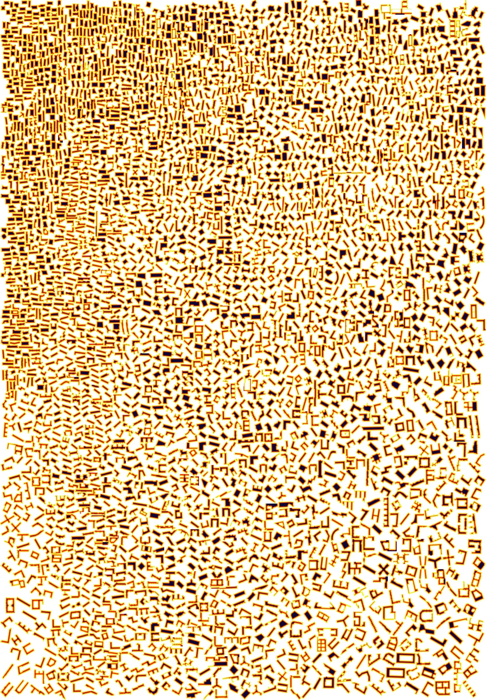
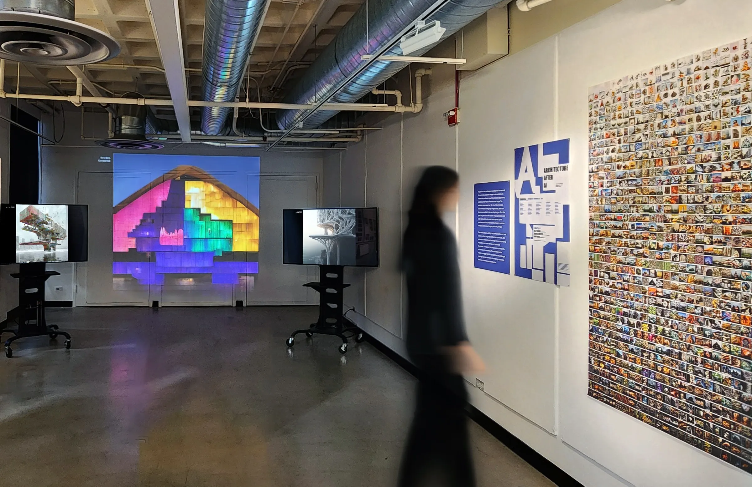
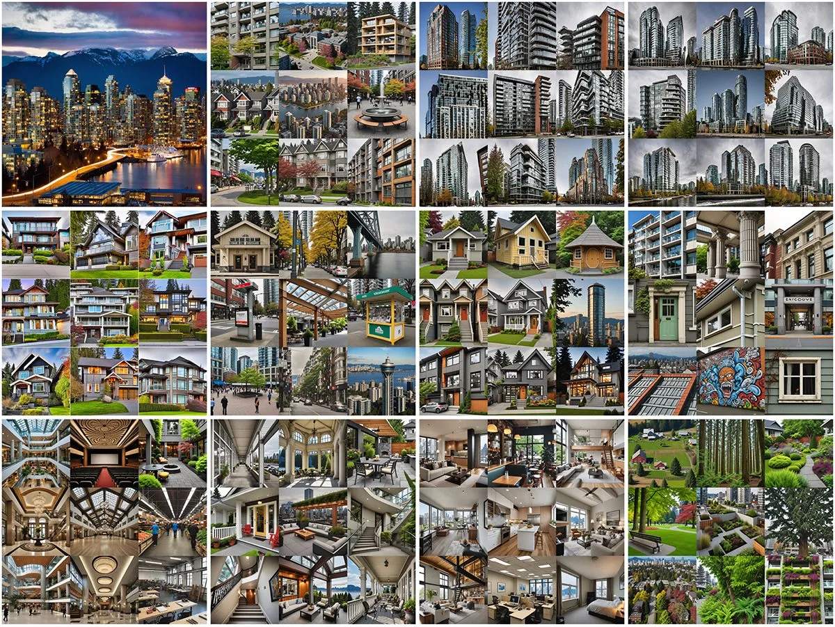
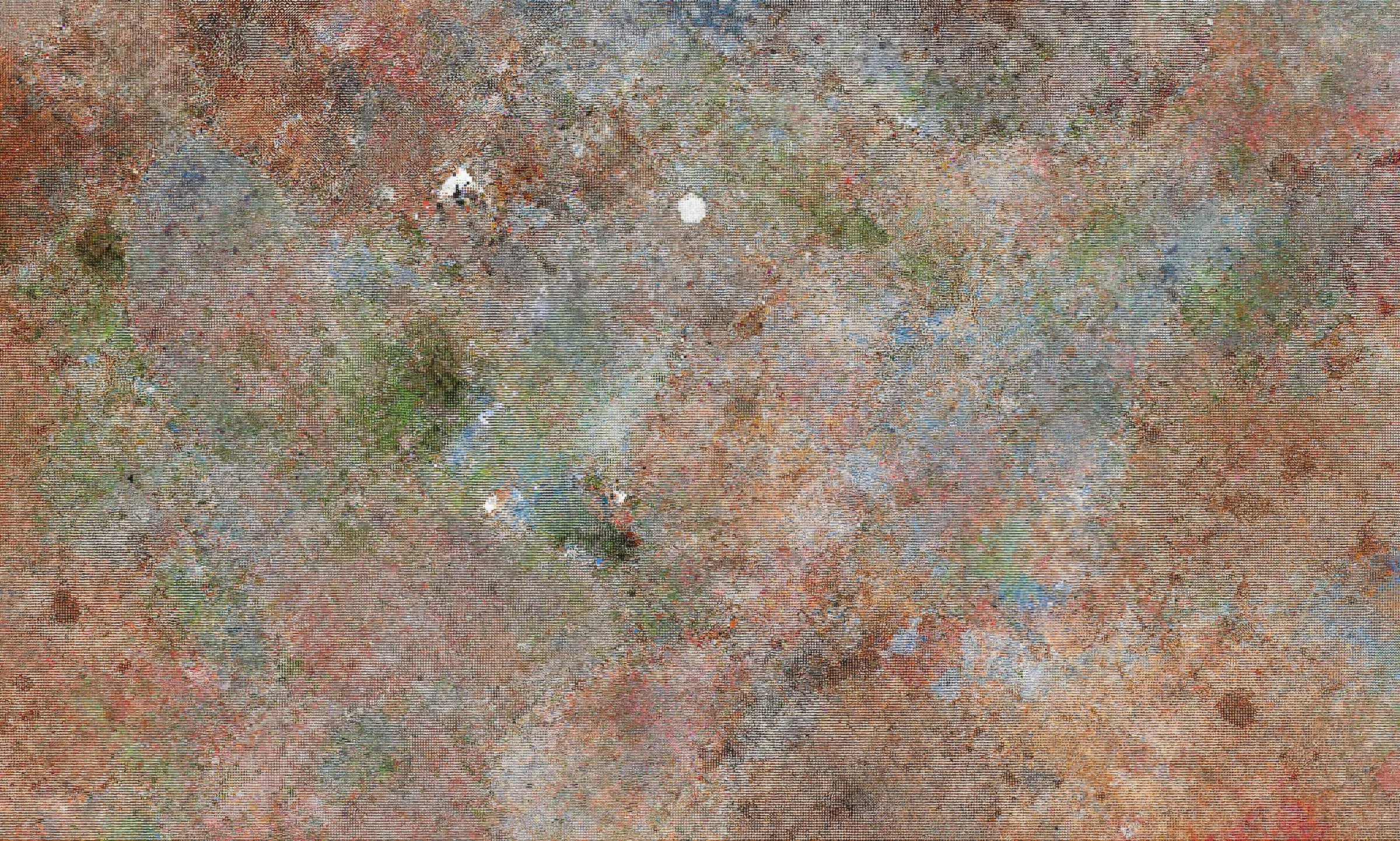
The measurement takes the form of atlases. LCA-GCS generated 1,060,166 images of 5,856 cities across some eighty architectural types and scored every one against its prompt, so that confidence could be mapped by country and stereotypes ranked rather than described. Latent Earth asked one model, FLUX.2, to draw 40,000 places from nothing but their names, recorded five internal representations for each of 200,000 images, and sorted 160,000 of them by those representations into one wall, commissioned by the Deutsches Architekturmuseum and now in its collection. The earlier studies of 2022 and 2023, in which cities were composed from their own generated features, were the pilots that led to the measured datasets.
All of it is public, on Hugging Face and in the two explorers on this site, so that the measurement can be repeated against the next model. The finding that carries across the datasets is simple to state and consequential for design: ungrounded models regress to a statistical mean that looks plausible and is culturally particular. The models imagine kinds of places, not places.
Both atlases can be walked. The Latent Earth explorer runs from the whole wall of 160,000 tiles down to the single place. The LCA-GCS explorer opens the set one city at a time, its images grouped by type and by model, with the maps and the CLIP scores, read in place from the dataset on Hugging Face; it succeeds the earlier site largecityarchitecture.org.
Work
8 entries